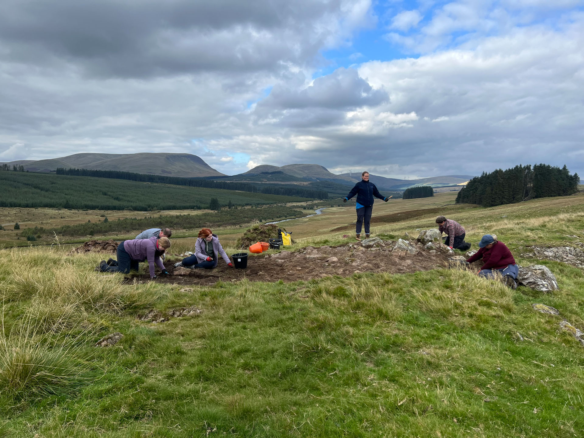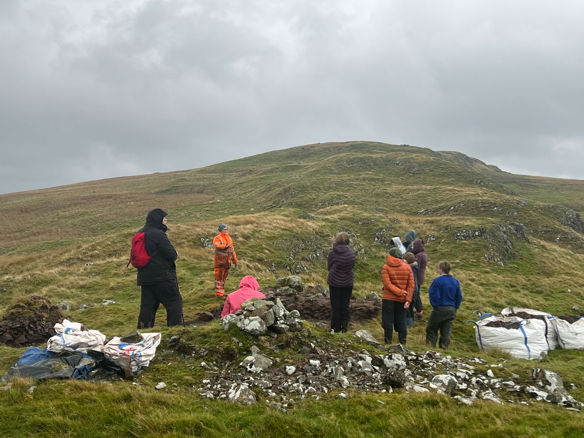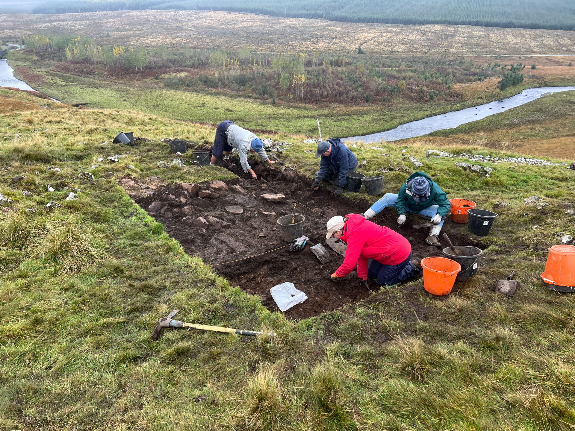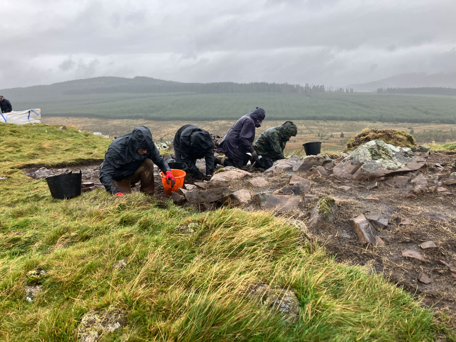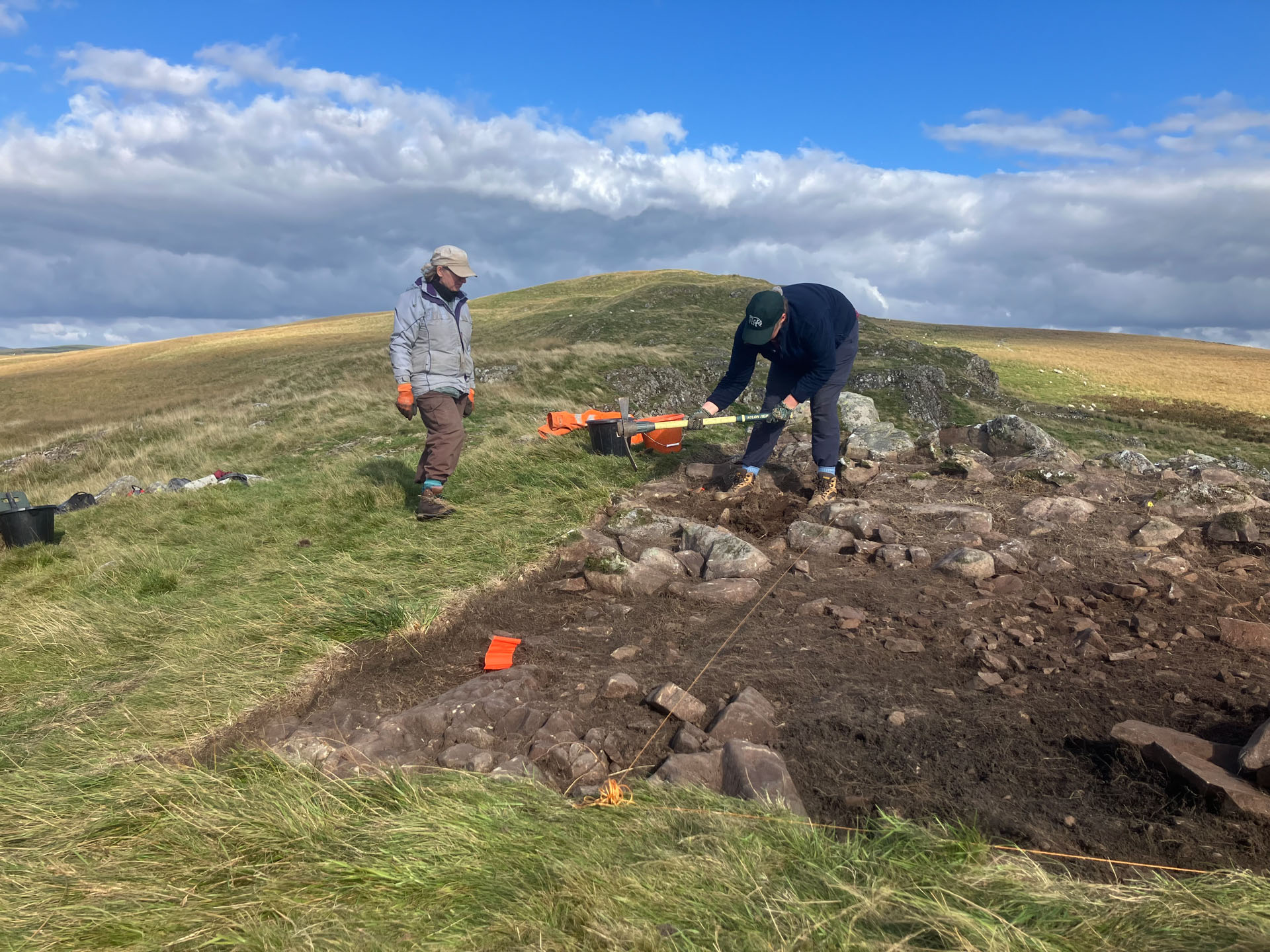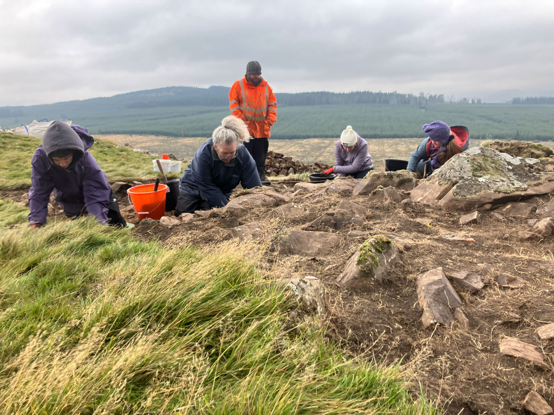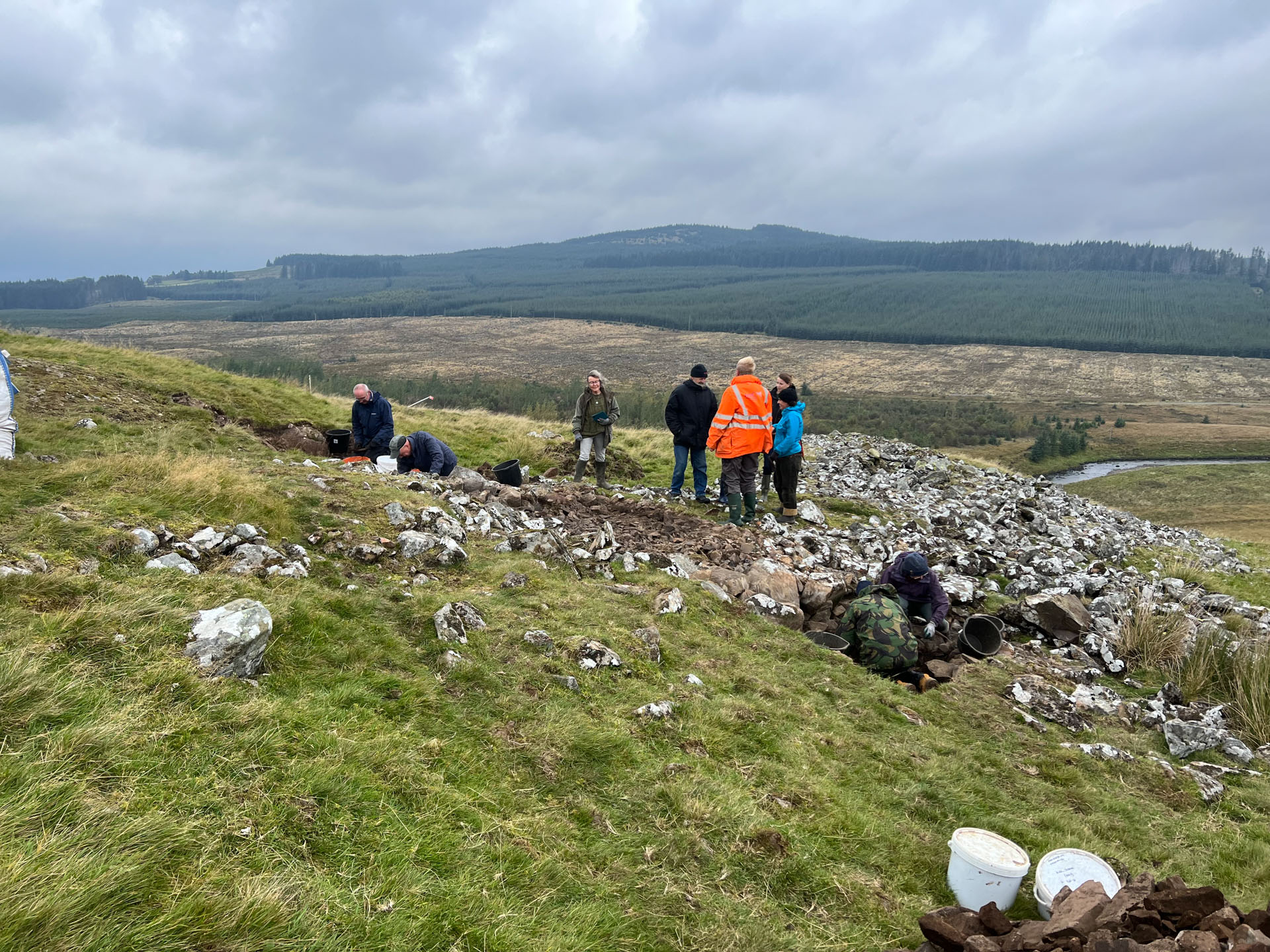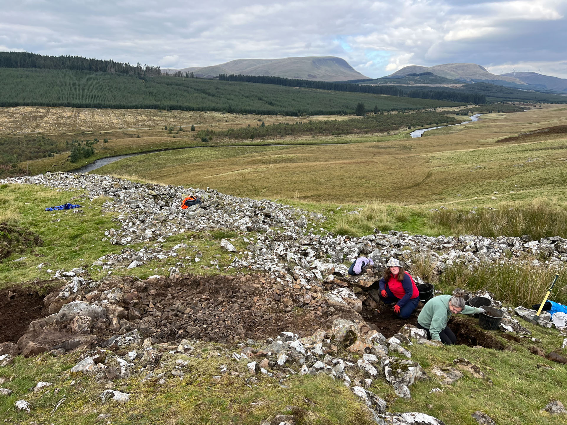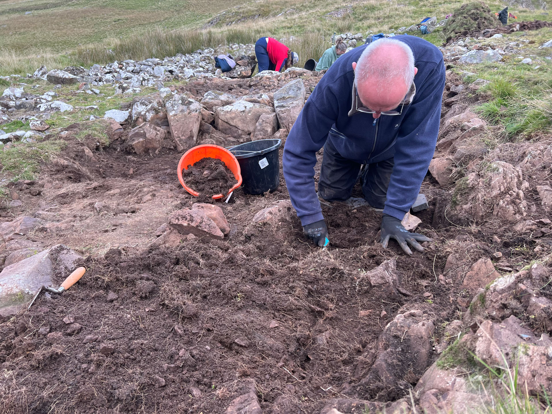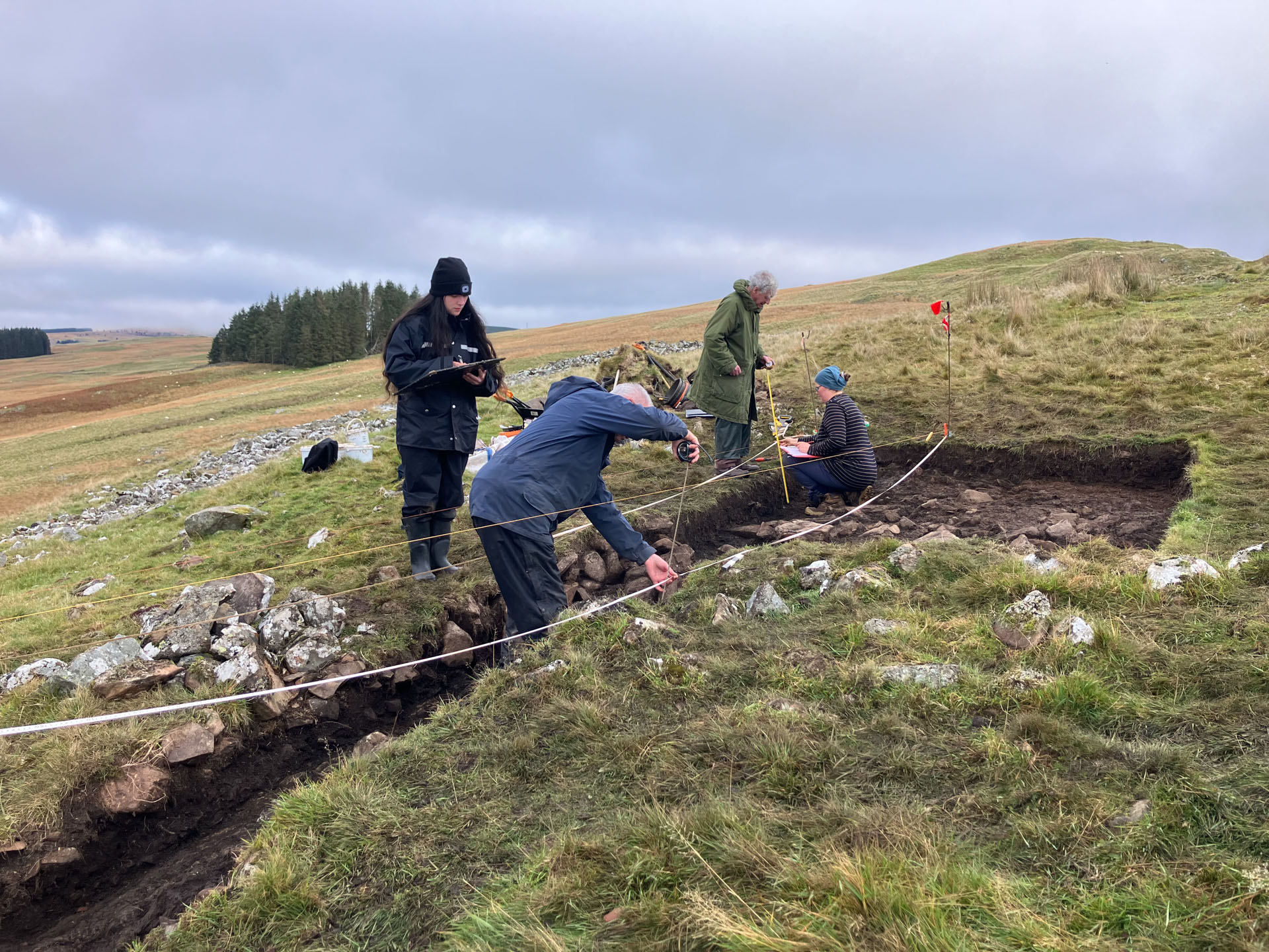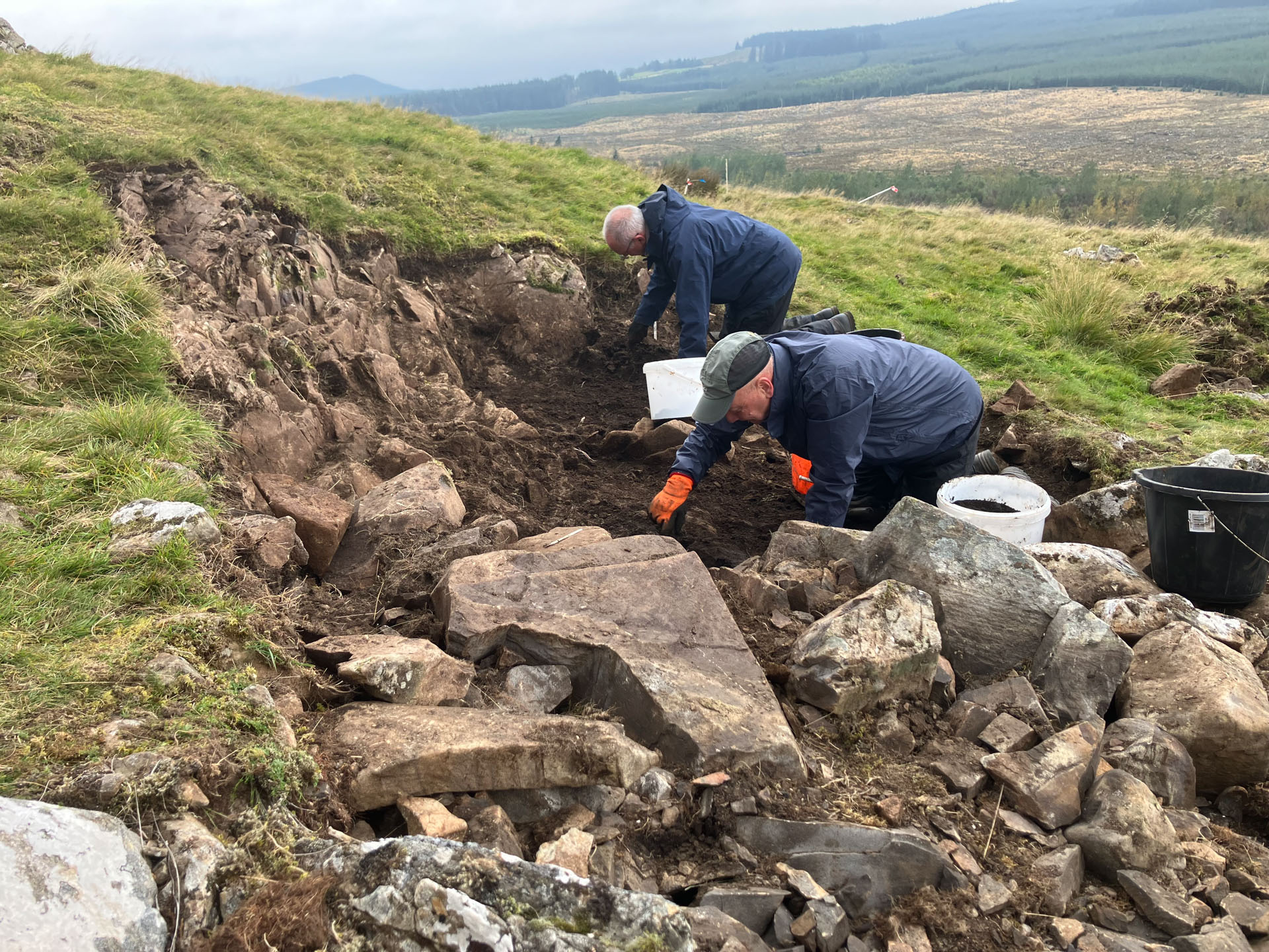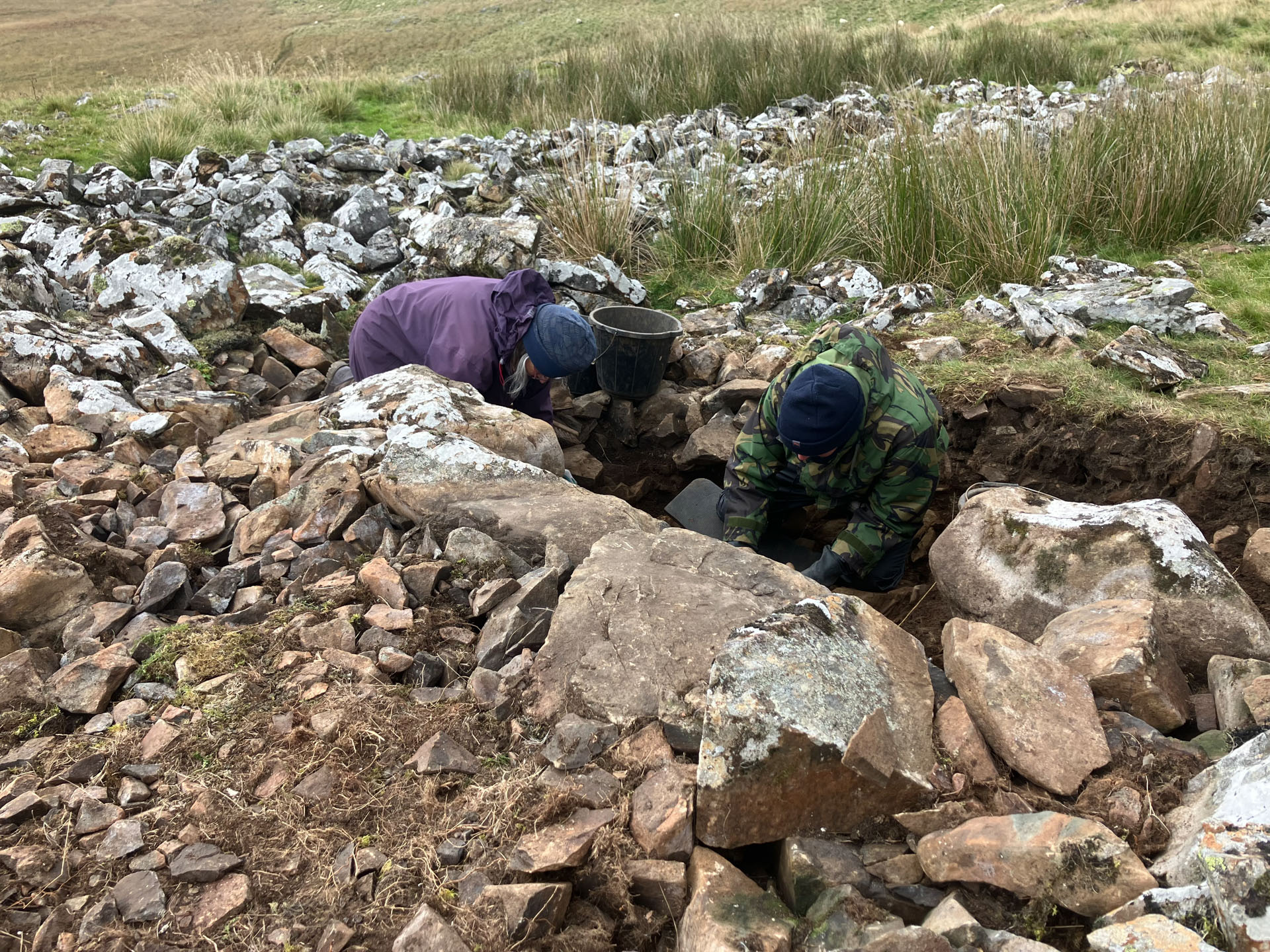


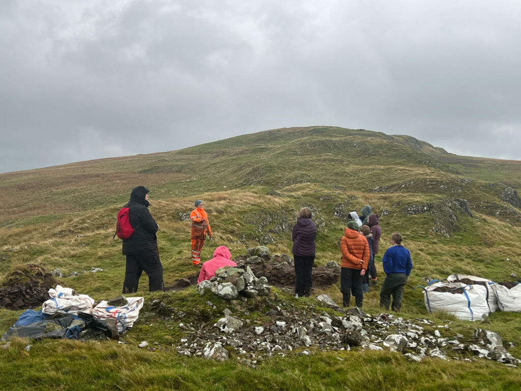
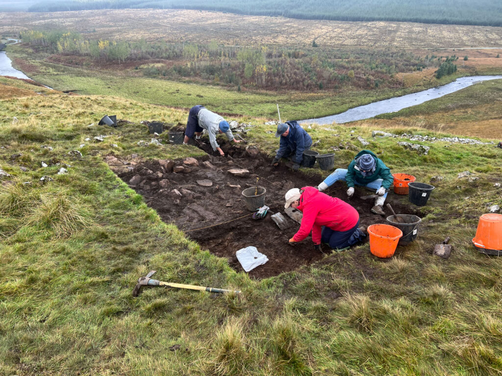
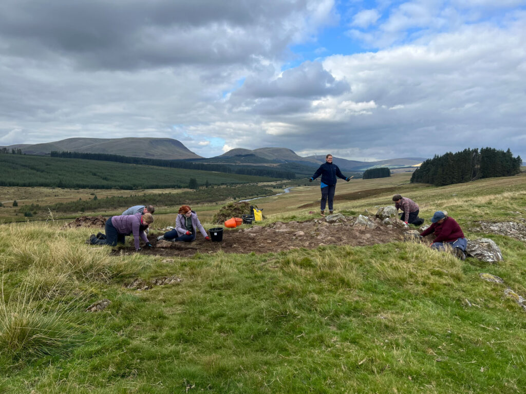
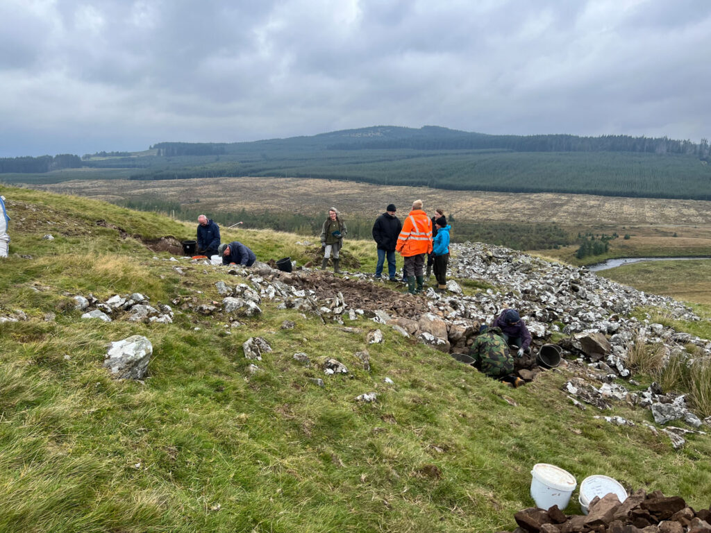
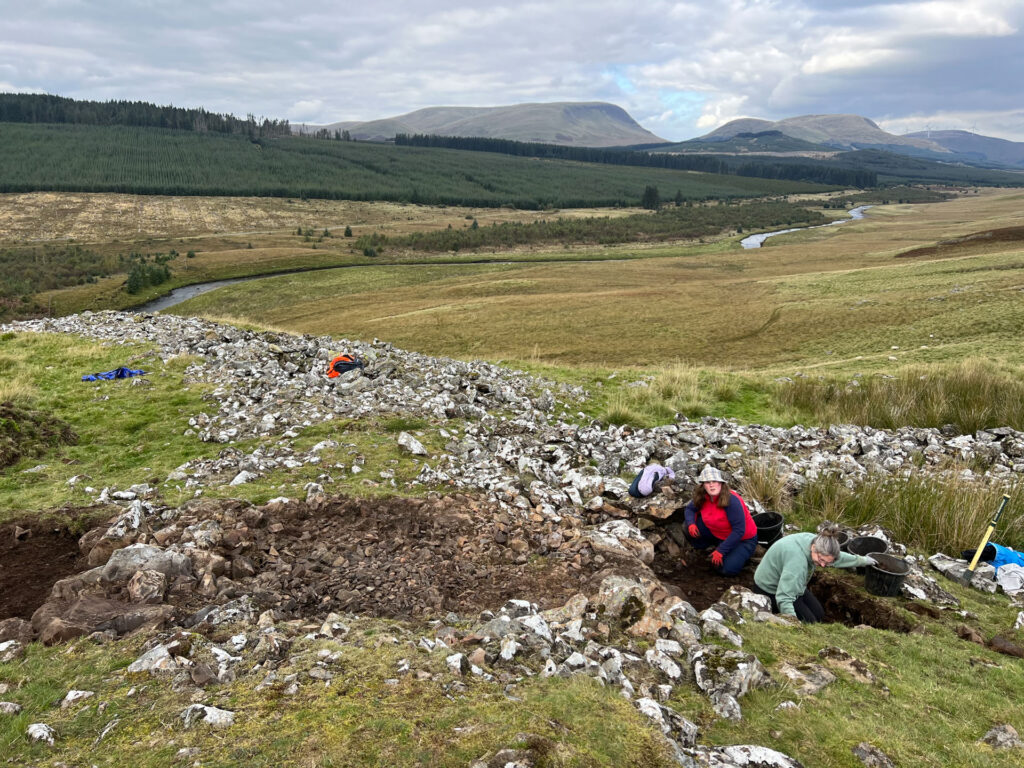
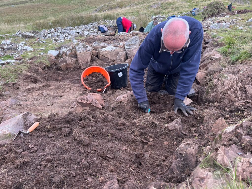
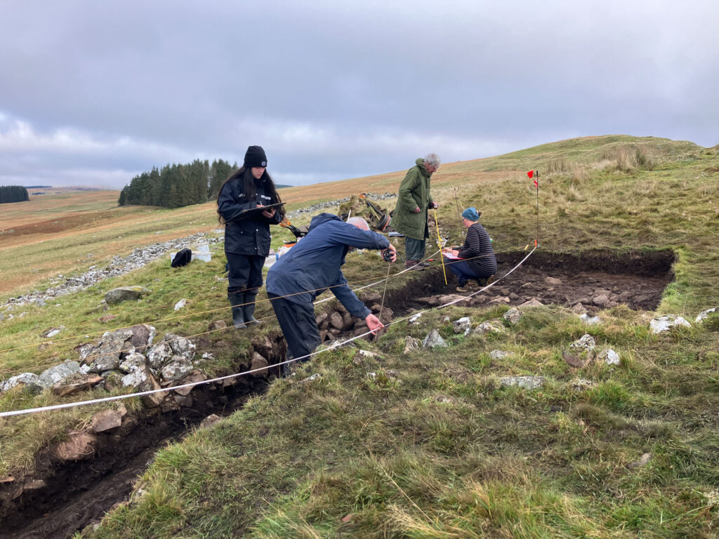
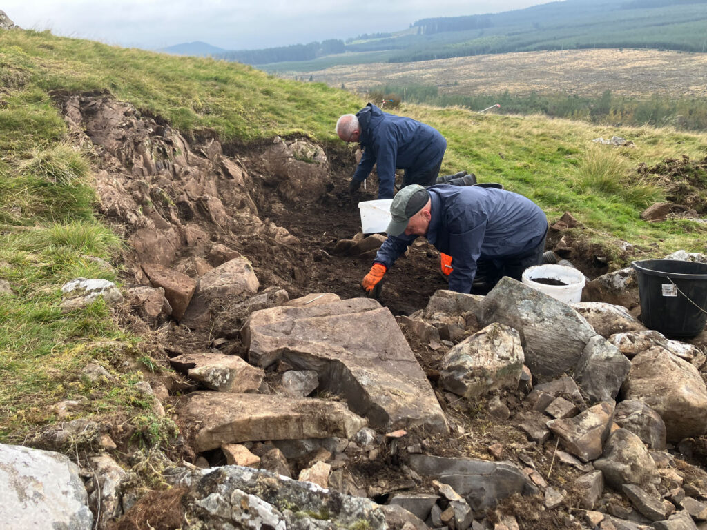
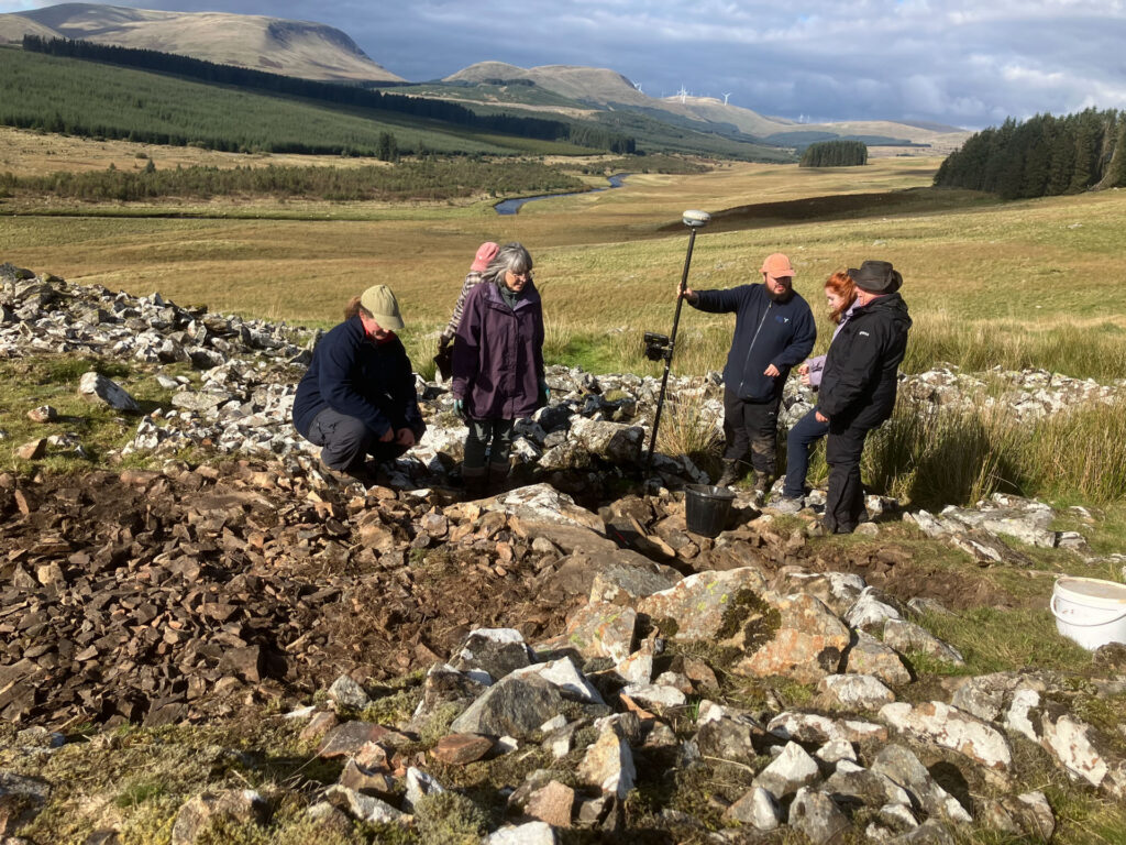
In the autumn of 2025, Carsphairn Heritage Initiative along with a team of community volunteers undertook excavations at two important local sites along the Water of Ken: Stroanfreggan Craig Hillfort and Smittons Bridge Kerbed Cairn. The two sites revealed a range of human activity from the Early Bronze Age, Early Iron Age and the Medieval period. The excavation gave the community the chance to delve into the past of their local monuments as well as learning new skills along the way.
The archaeological works were carried out by Carsphairn Heritage Initiative (CHI) and AOC Archaeology. The project was kindly funded by Historic Environment Scotland (HES) and the Carsphairn Renewable Energy Fund Ltd.
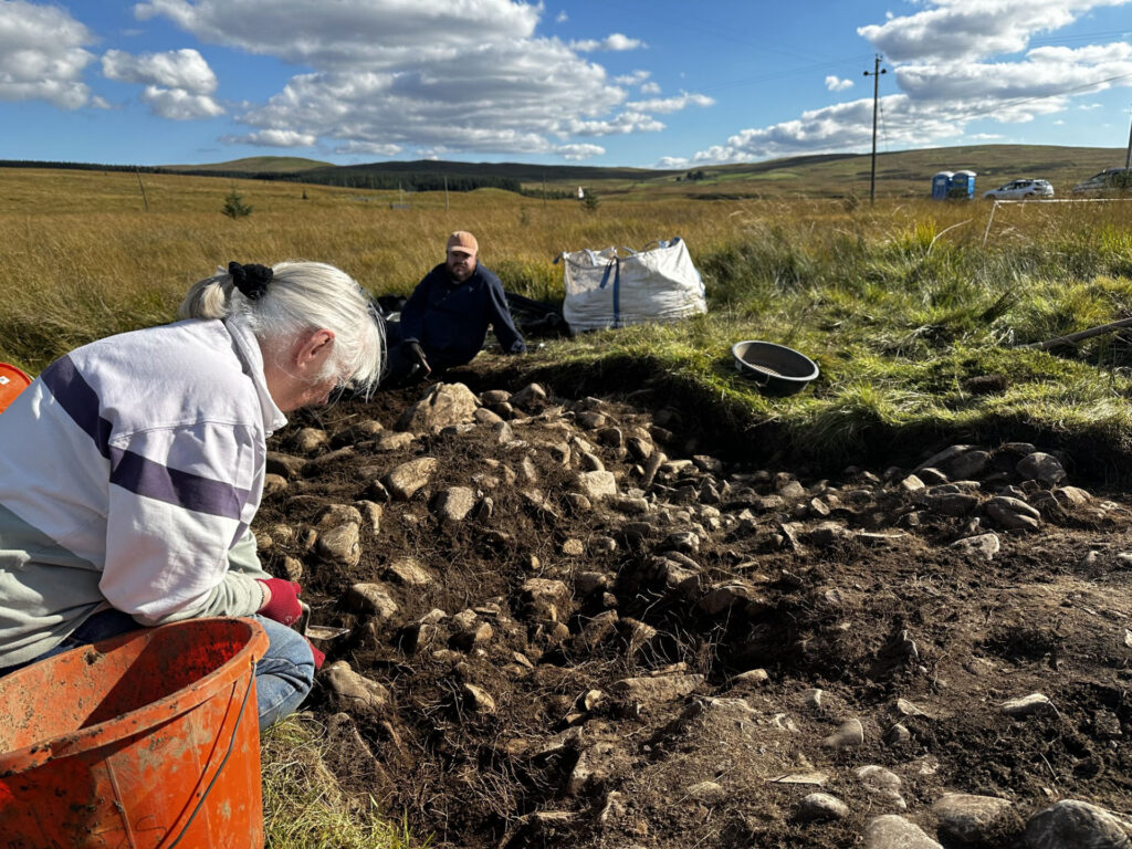
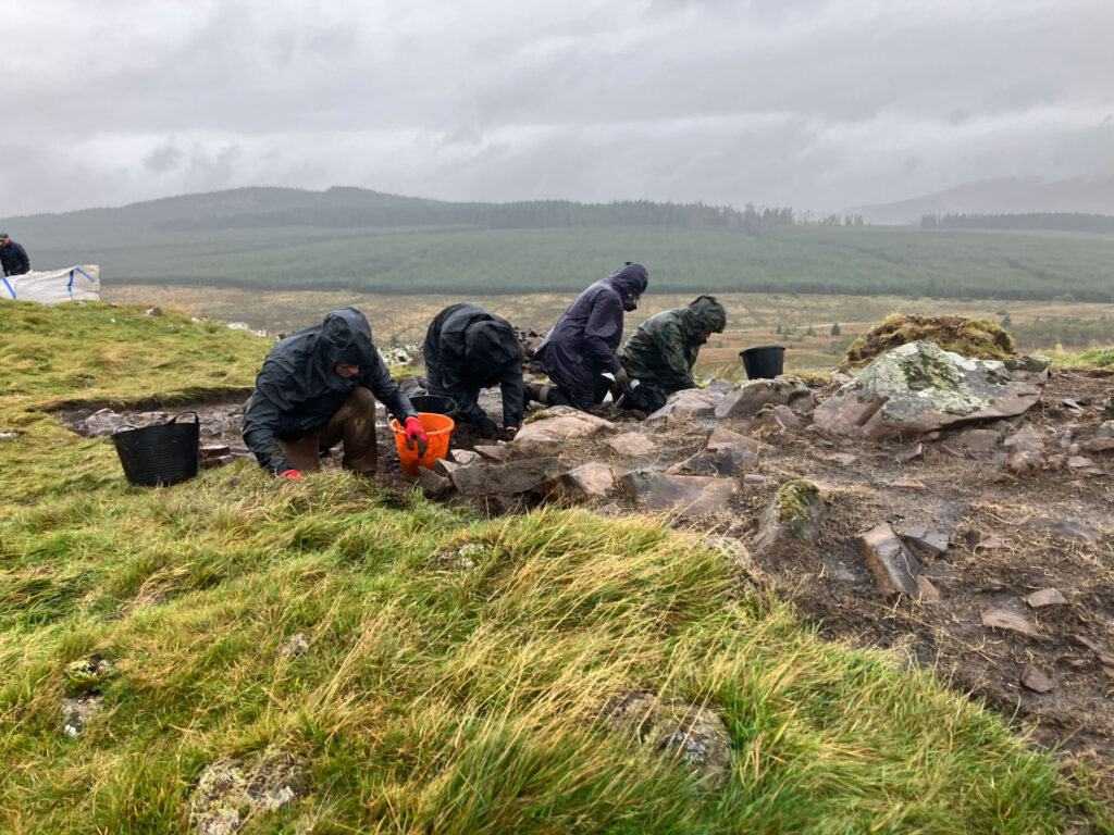
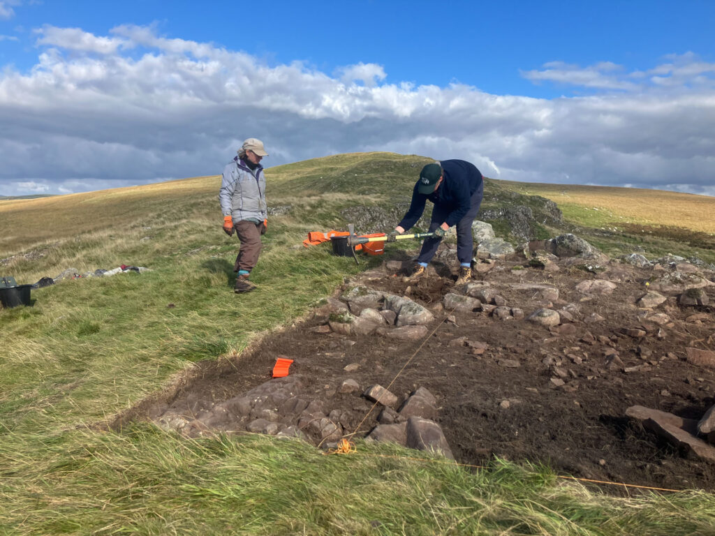
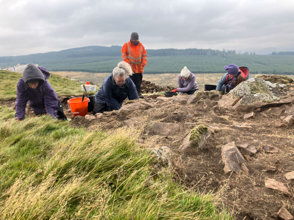
First on the Hill
Several fragments of chipped stone including buchan flint and a scraper tool on Southern Upland chert were identified redeposited on the hillfort. These represent remains of earlier prehistoric groups using the hilltop prior to the construction of the fort, and the area around the Water of Ken, most likely indicating Late Mesolithic hunter gatherer activity. The hilltop would have been a good lookout point for monitoring herds of animals moving up and down the river.
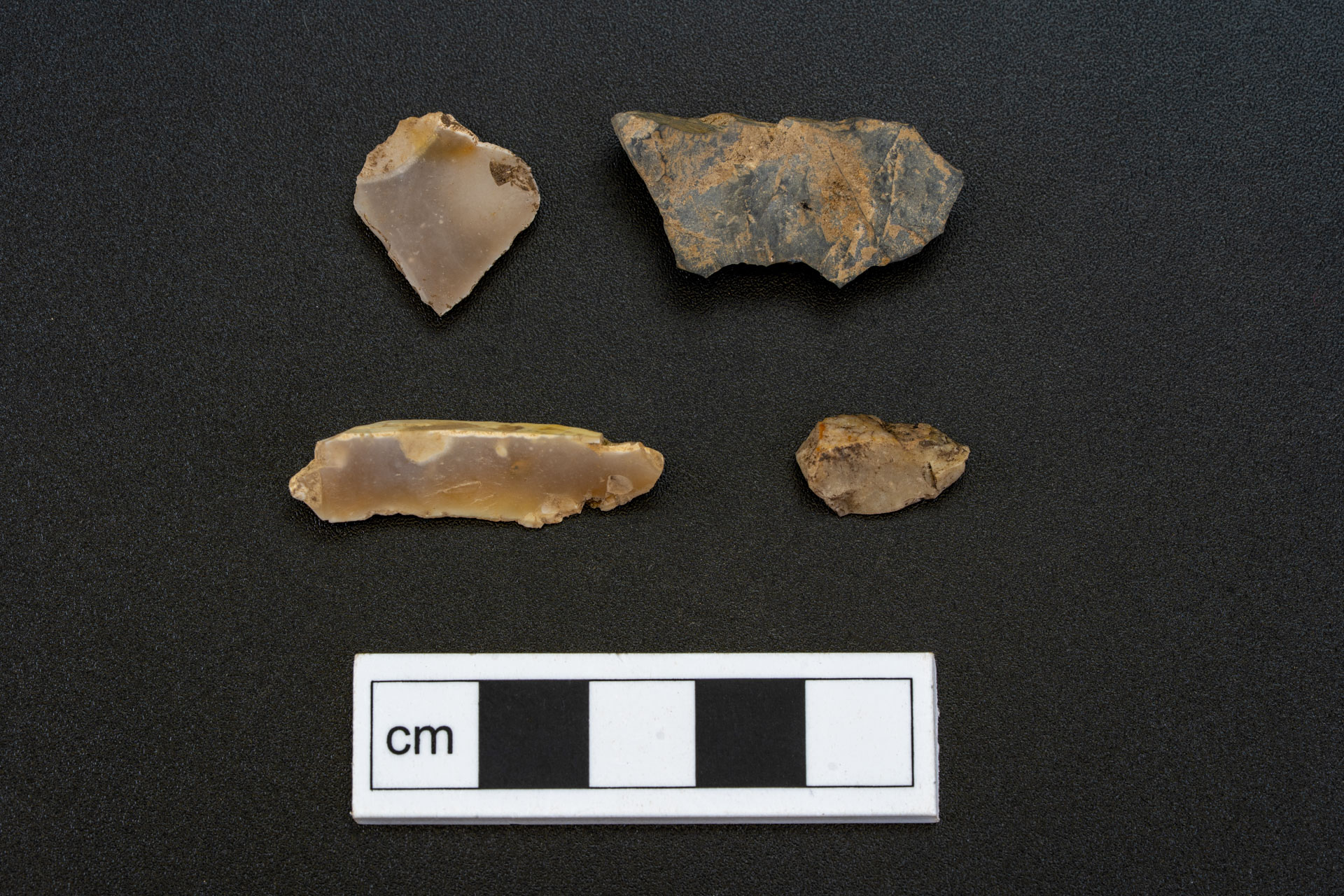
Early prehistoric lithic tools found on the crag
Smittons Bridge Cairn
Smittons Bridge kerbed cairn sits on a low rise on the floodplain of a meander of the Water of Ken. It can be seen as a low ring-shaped bank of large stones and earth with the old track leading to a nearby quarry cutting through the centre. Stones from the cairn were removed in the 19th and 20th centuries and reused in nearby field boundaries. One local story relates that, during the removal of these stones, human bones and a sword were found and later kept at a local house, though there is no modern record of where they are now.
The cairn was built with a large boulder kerb, retaining a bank of stone and earth, the basal layers of which are all that survive today. The cairn was likely built using locally sourced stone and turves. Material sampled from the base of the cairn contained fragments of charcoal, which were radiocarbon dated to 2136-1955 cal BC, placing the construction in the Early Bronze Age, though some of the materials may have been reused from earlier Neolithic activity areas.
Although no human remains were found during the excavation, this was almost certainly a prominent burial monument. During the Early and Middle Bronze Age, burial traditions in southwest Scotland often involved people being cremated and their remains gathered and buried in a number of ways. Burials were often placed on low mounds or marked with cairns, which could either be a circular stone cairn or a ring cairn with no central mound. The Smittons Bridge cairn is one of only a handful of either type to have been excavated in southwest Scotland.
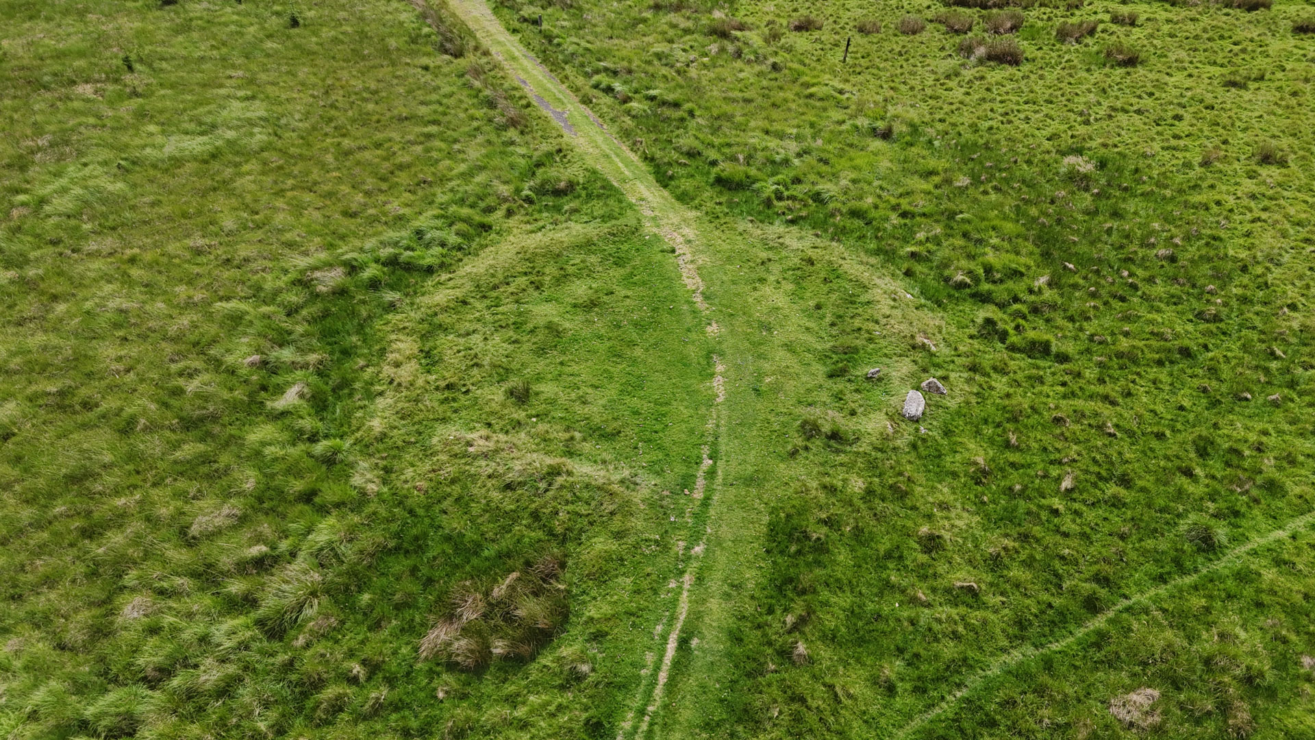
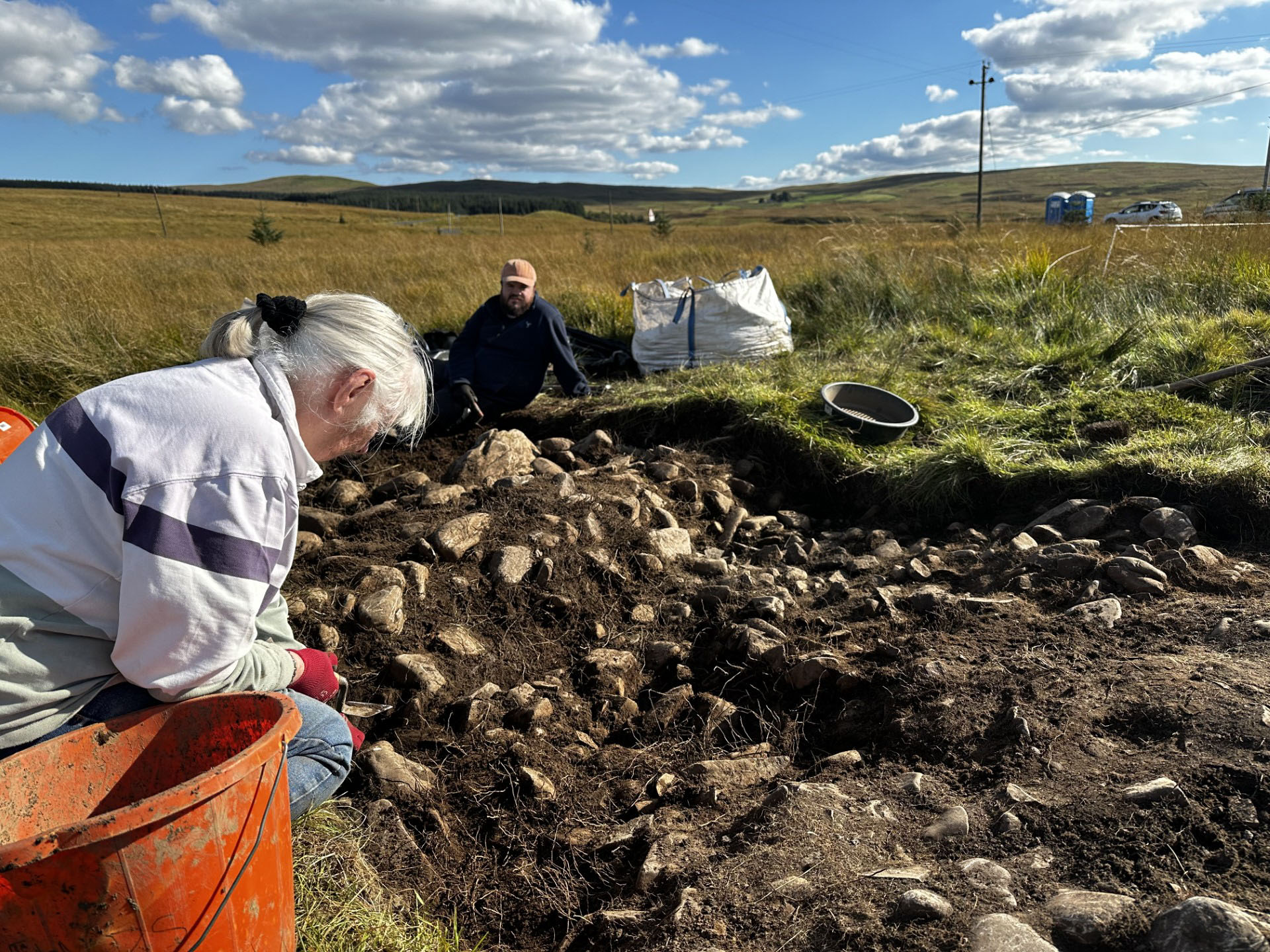
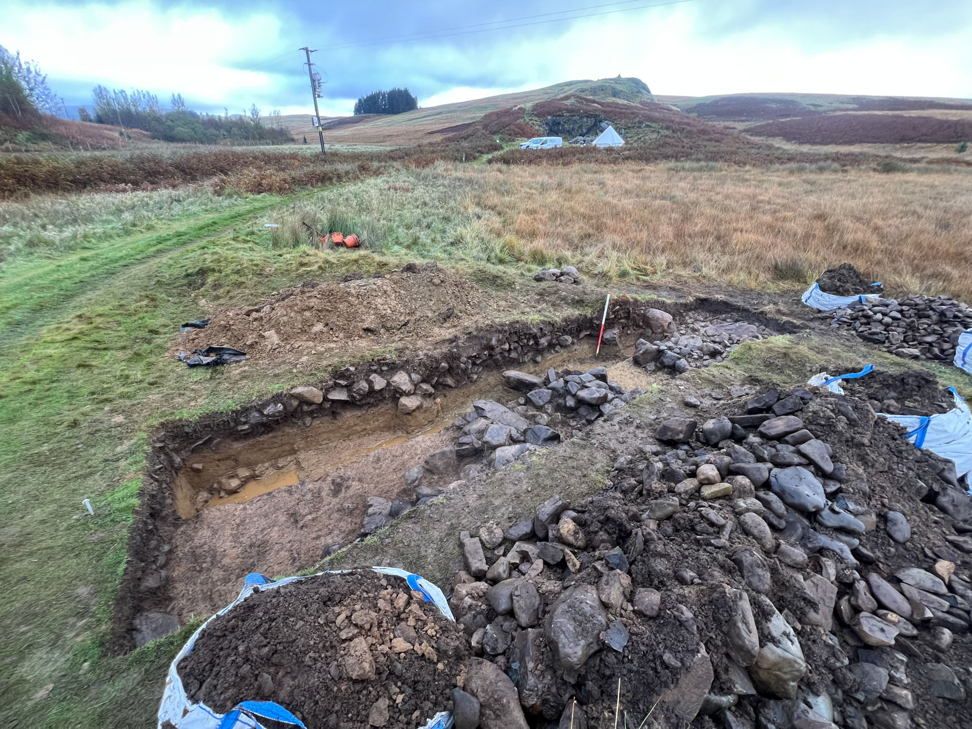
explore the 3D model⚬
explore the 3D model⚬
explore the 3D model⚬
explore the 3D model⚬
explore the 3D model⚬
Stroanfreggan Craig Hillfort
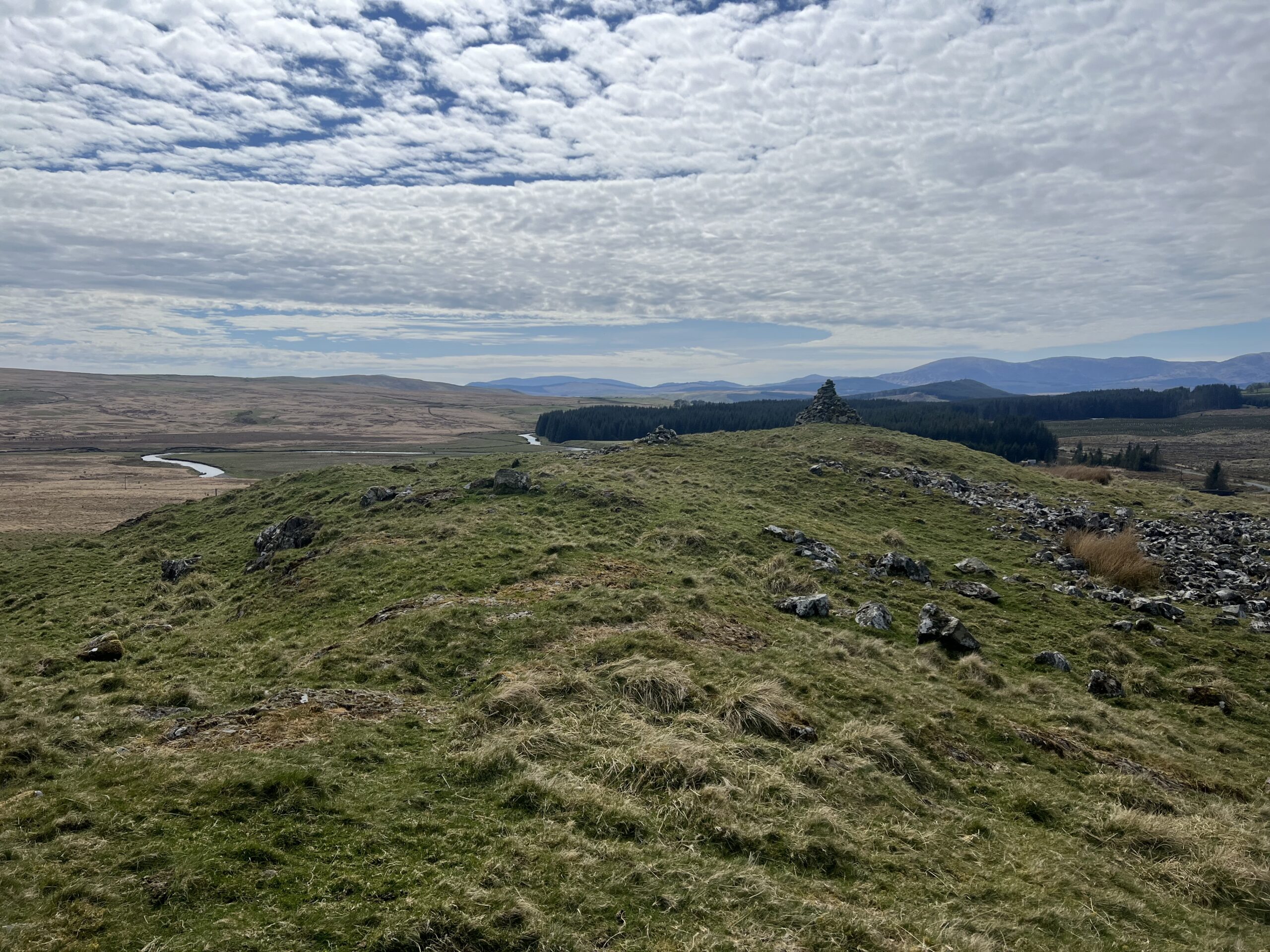
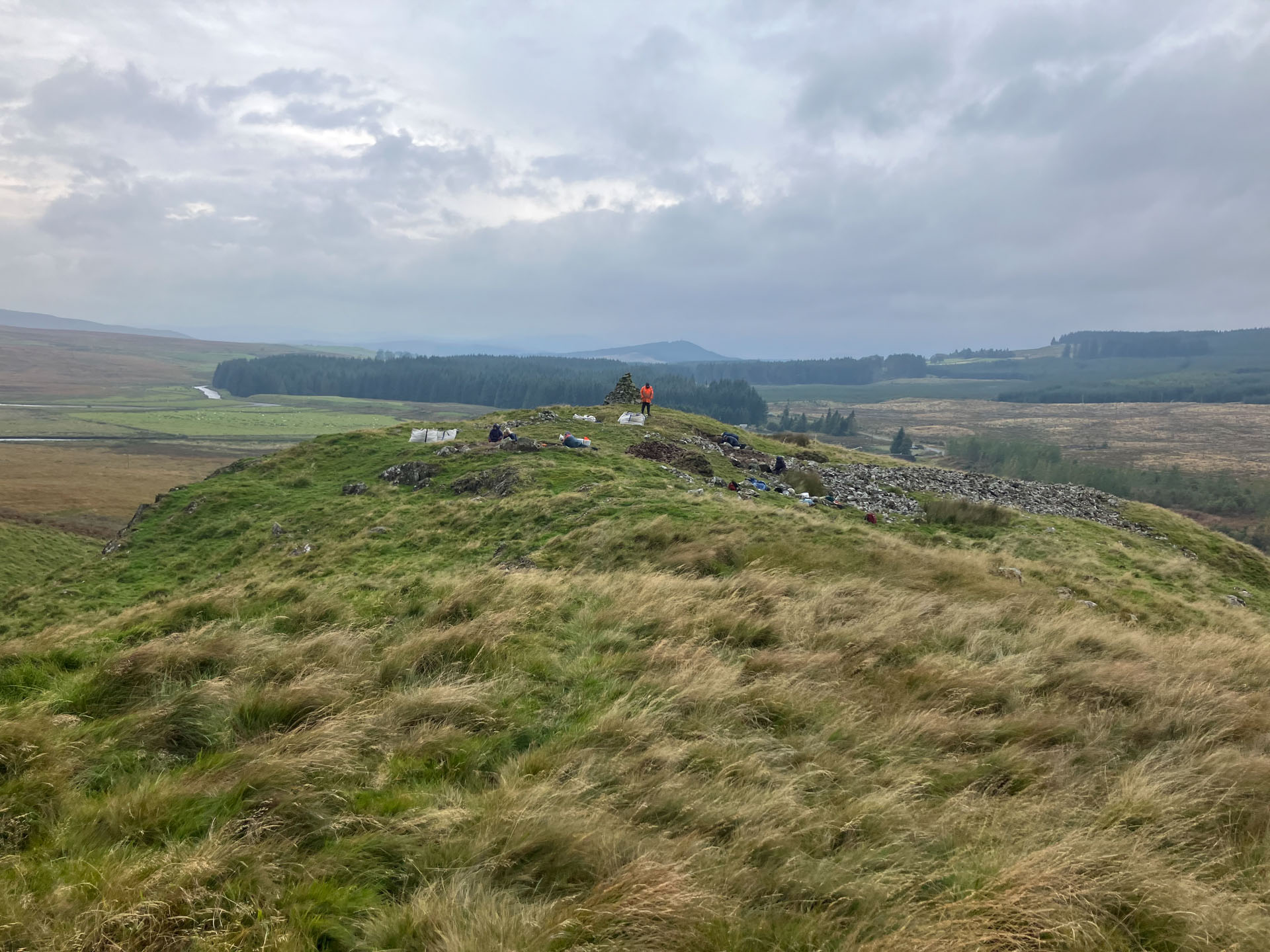
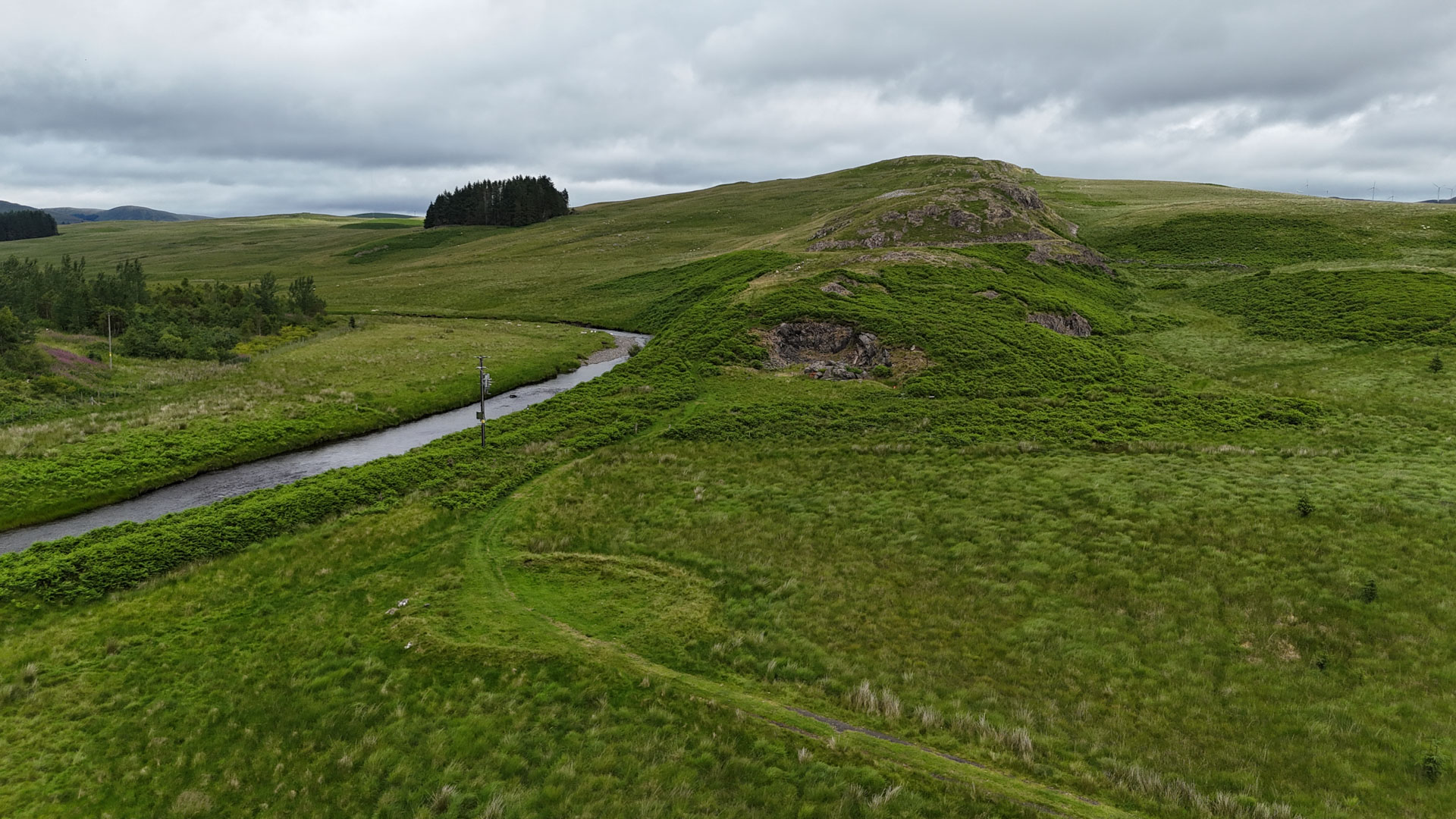
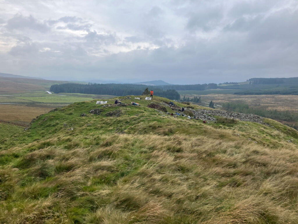
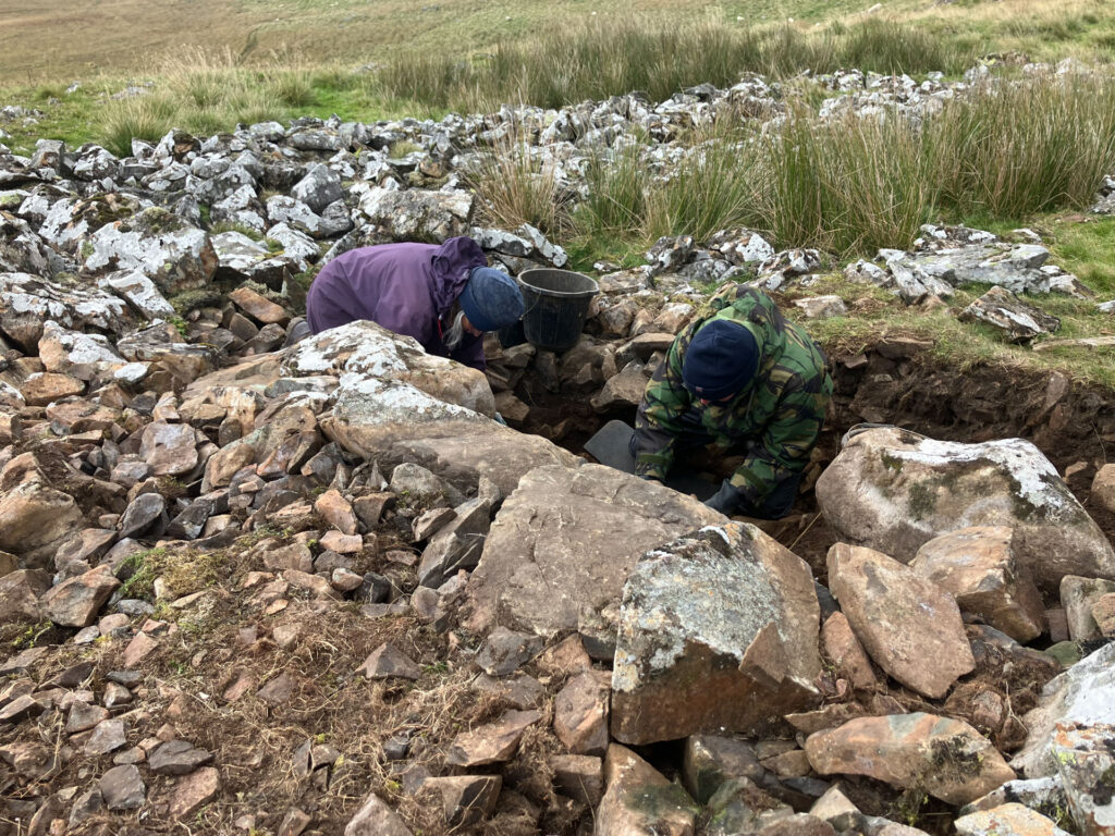
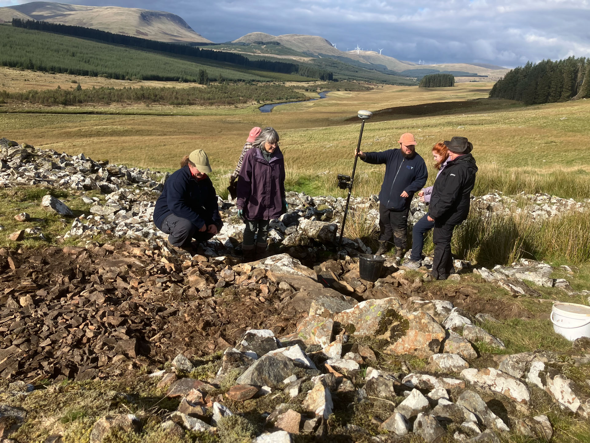
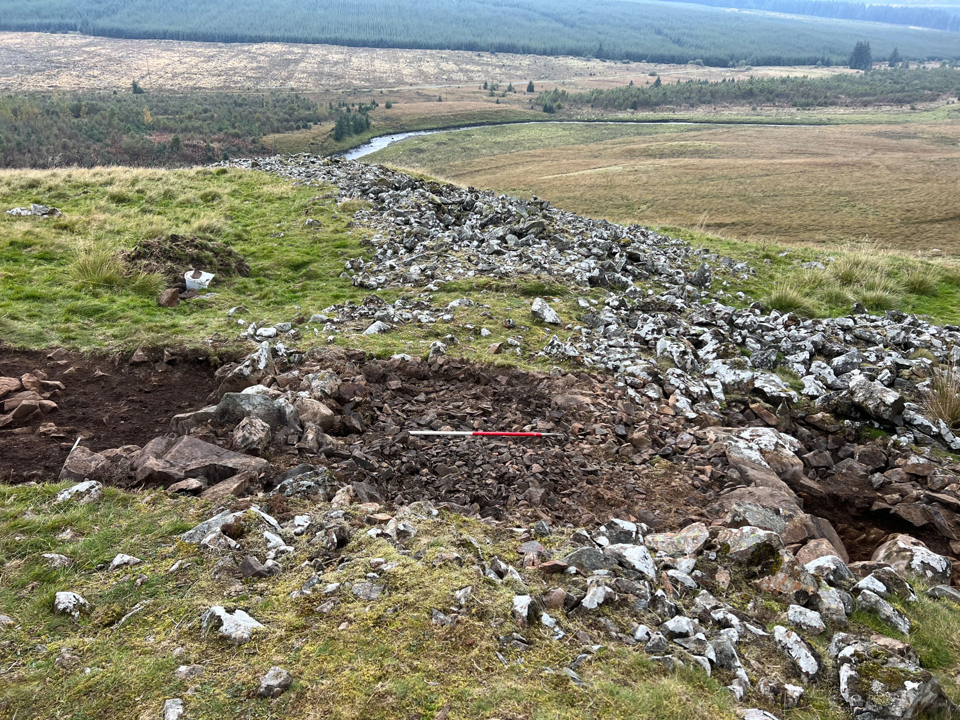
Stroanfreggan Craig hillfort sits on the edge of a prominent crag overlooking the Water of Ken and the Smittons Bridge cairn. The summit is enclosed by a large collapsed stone rampart (wall), with a gap on the northeast forming the entrance. With the entrance in this location, people would have had to travel around the base of the crag before ascending to the summit via a gentler approach along the ridge. This may have been a deliberate design to ensure visitors were suitably in awe of the scale of the fort as they arrived.
The 4m-wide rampart was built with a large boulder face and a rubble core, with its foundations directly on top of the bedrock or an old ground surface. Hazel and birch charcoal was recovered from samples of the wall core and ground surface and radiocarbon dated to between 761-407 cal BC, indicating construction of the fort during the Early Iron Age. One house platform from within the fort contained charcoal dated to 361-174 cal BC, suggesting the fort was occupied for a few hundred years before going out of use.
The fort was occupied soon after the rampart was built, as evidenced by the remnants of burnt animal bone, barley cereal grains and hazelnut shells from cooking waste as well as charcoal from hearth fires. There were very few artefacts, a feature characteristic of many Iron Age hillforts in Scotland. This could indicate the recycling of materials, deliberate clearance of the site on its abandonment or simply poor preservation.
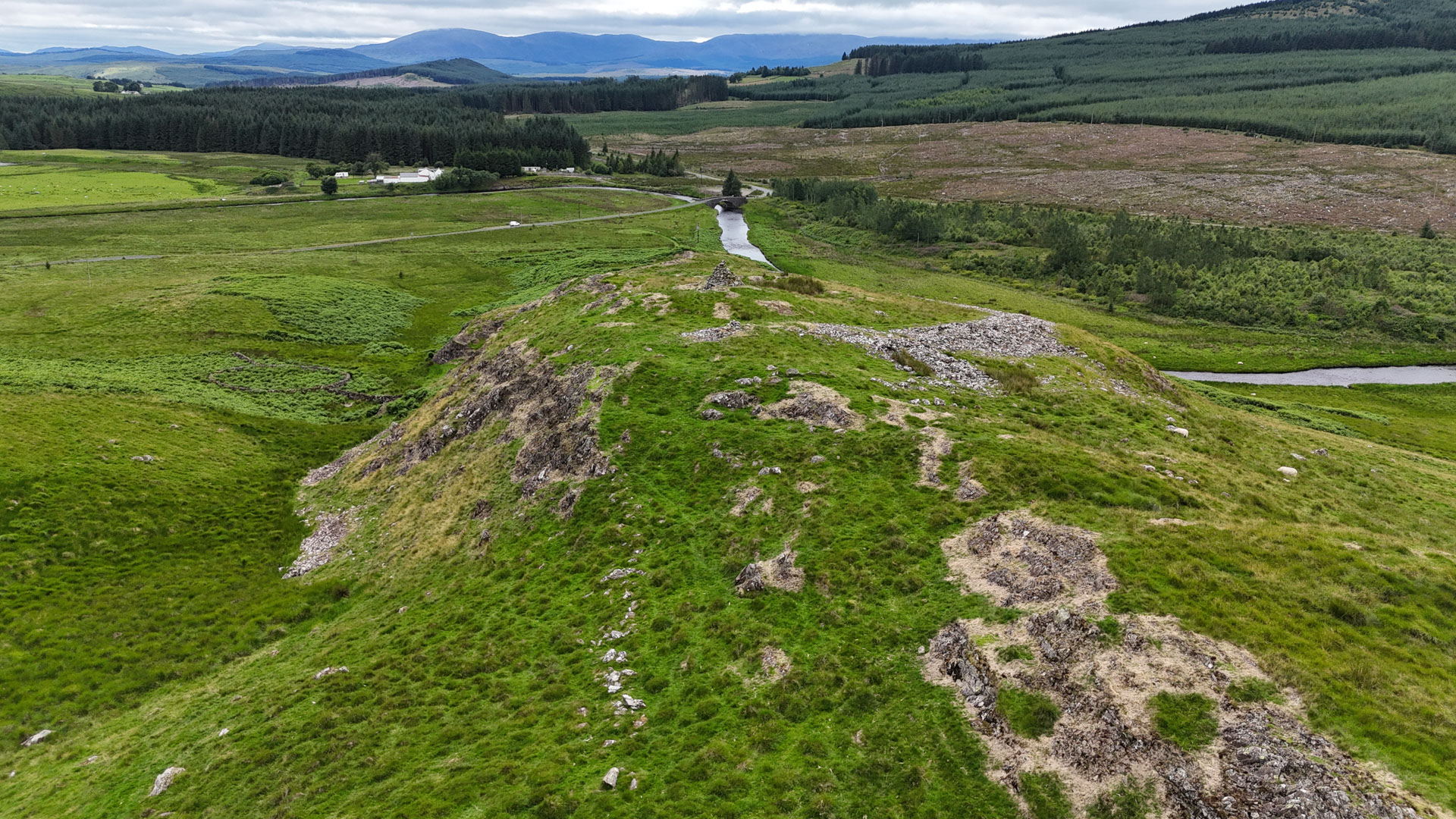
explore the 3D model⚬
explore the 3D model⚬
explore the 3D model⚬
explore the 3D model⚬
explore the 3D model⚬
A Fiery End?
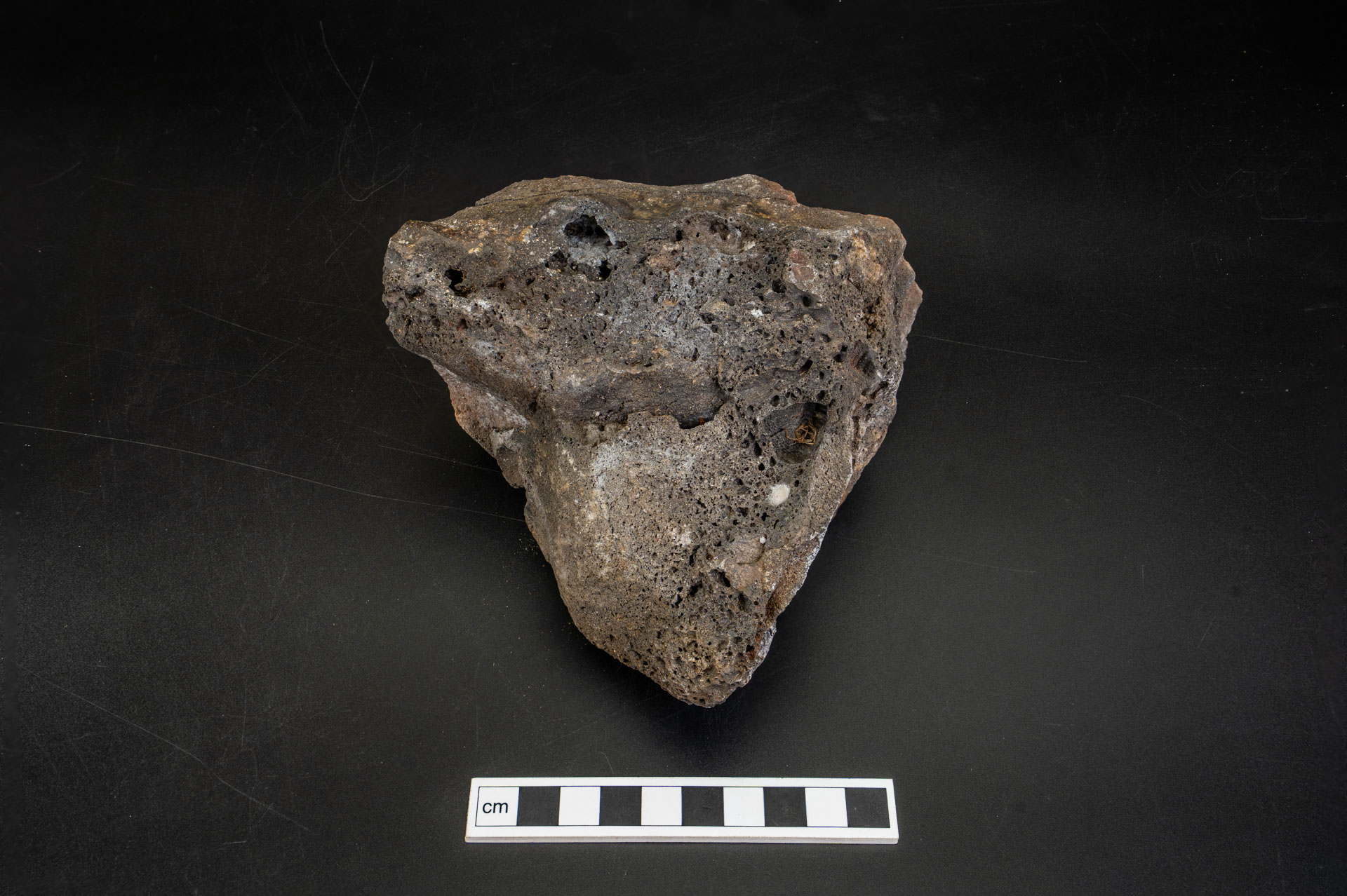
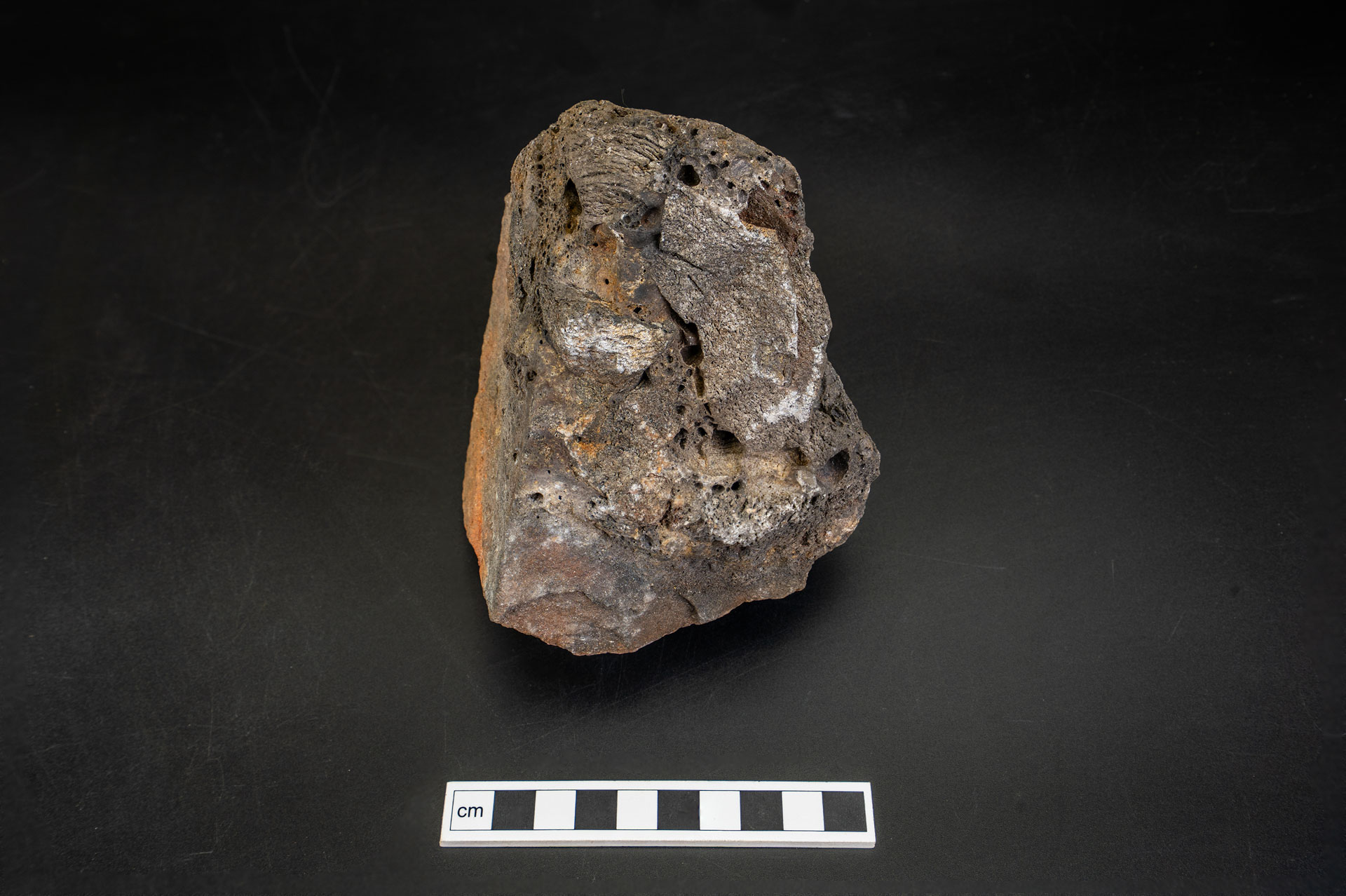
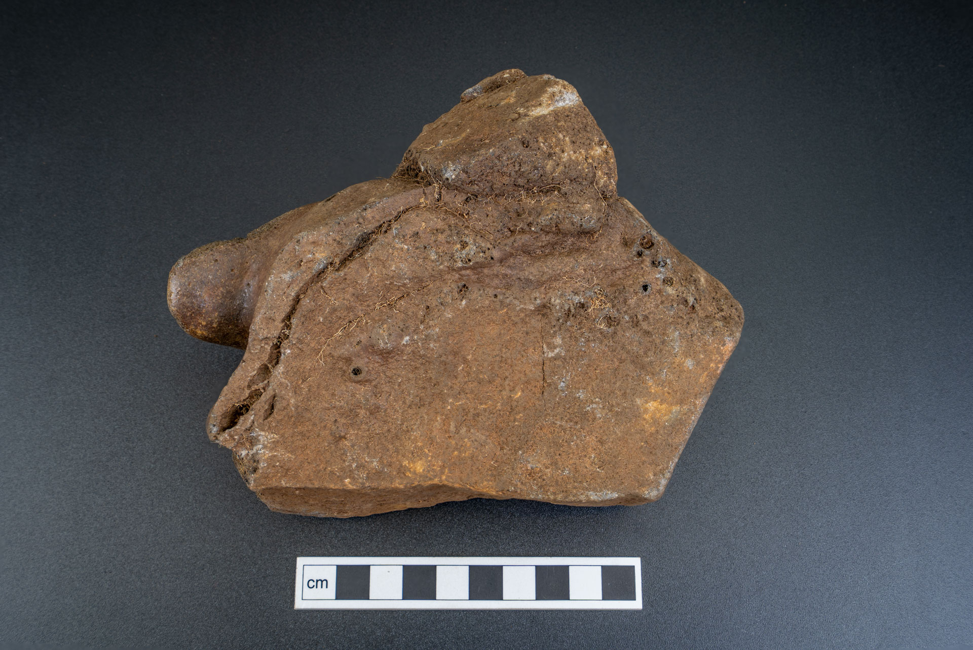
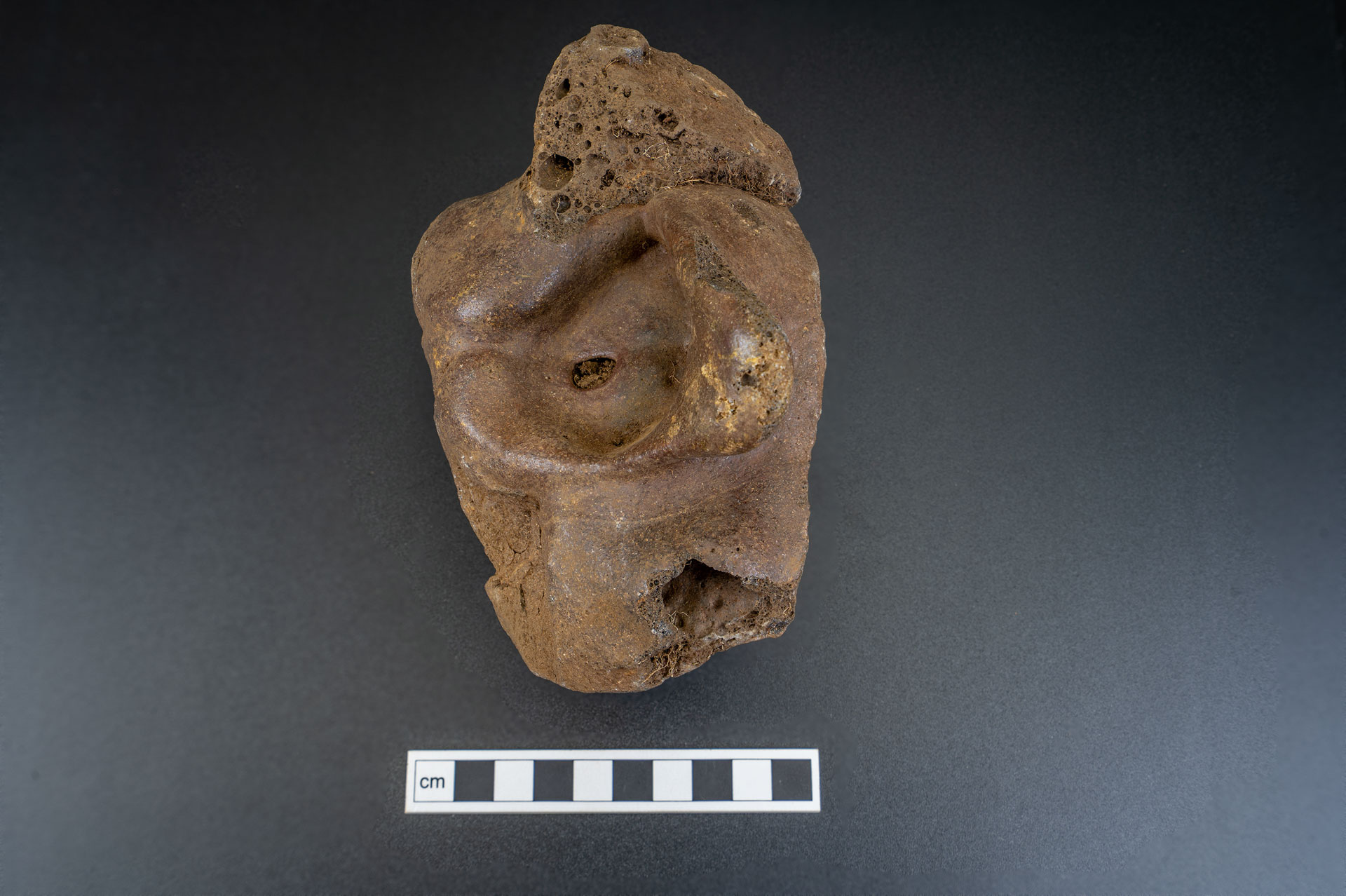
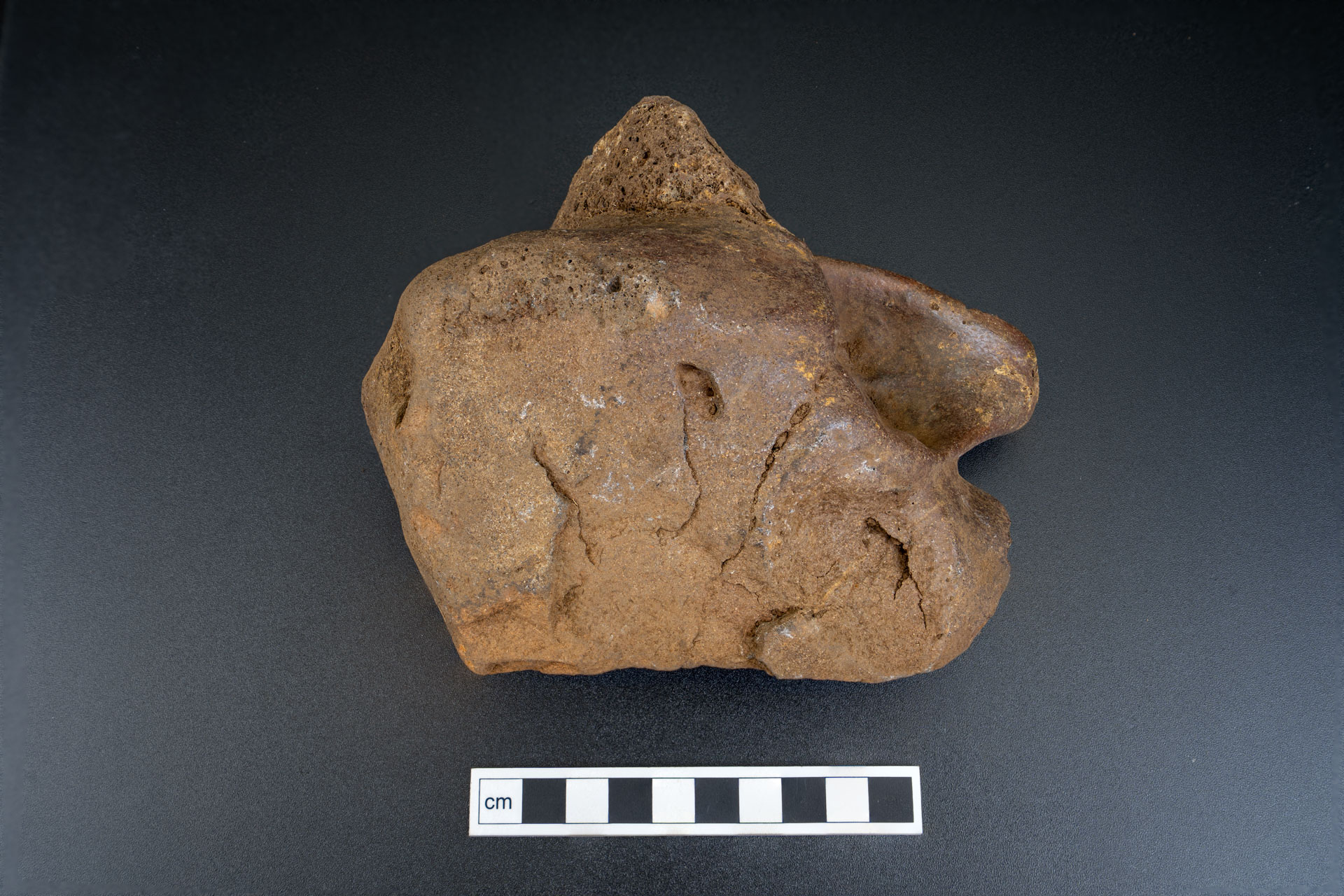
The excavations revealed the rampart had been vitrified, a process which involves parts of the wall being subjected to intense heat of greater than 1000 °C over a prolonged period of time. To reach this temperature it is likely that the wall had some sort of timber component, perhaps oak timber lacing or structures built up against it, and that the fire was set deliberately with well-seasoned wood used to stoke the fire over a period of time.
Chunks of vitrified stone were observed in both trenches across the summit enclosure which suggests this fire was fairly extensive. It’s possible this fire represents the end use of the fort. Many other hillforts in Scotland also show evidence of having been burnt down during the Early Iron Age, including the famous sites of Tap O’Noth and Dun Deardail. This seems to have been part of a wider shift in the social structure at this time.
Medieval Hill Farming
A line of large upright stones is all that remains of a smaller ‘annexe’ enclosure located on the northeast side of the hill. Prior to the excavations, it was unclear whether this annexe was added to the fort during the Iron Age or if it was a much later addition. Charcoal recovered during the excavations was able to shed light on this mystery through a series of radiocarbon dates. These dates revealed that while Early Iron Age (718-399 cal BC) material had been used to construct the banks, occupation material from inside the enclosure came from hundreds of years later in the Medieval period, during the 11th-13th centuries.
This annexe probably did not exist during the Iron Age but formed part of a much later Medieval hill farm, where it was used as an area for managing livestock. Both the medieval features and the earlier Iron Age fort have been heavily robbed of stone for the successive phases of hill farming in this upland pasture. A lot of collapsed stone at the base of the east side of the hill is reused in sheep fanks and field boundaries across the wider landscape. This along with the substantial fire which ended the use of the Iron Age fort explain why the ramparts are so denuded today, visible only as spreads of stone and scree rather than clear walls.